
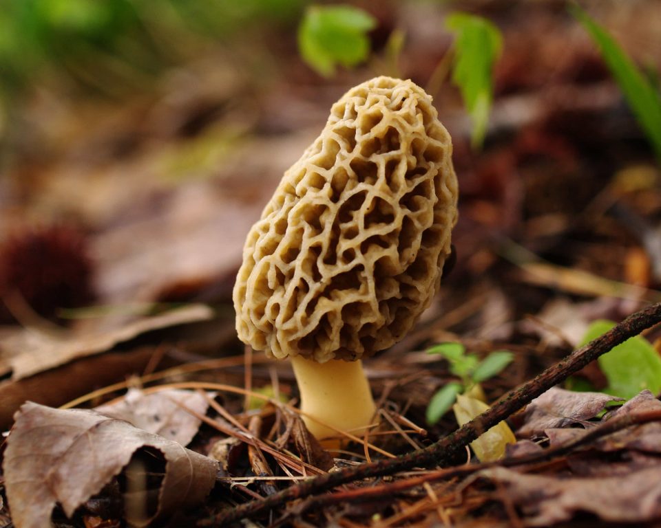
LANSING, Mich. (AP) — If you’re looking for good places to find tasty morel mushrooms this spring, the Michigan Department of Natural Resources is offering some hints.
The DNR has an online interactive map that shows where wildfires and prescribed burns took place in 2015. Each location on the map consists of at least 10 acres.
Resource protection manager Jim Fisher says morels often sprout where large fires happened the previous year, although there no guarantees.
The Mi-Morels map provides information on forest cover types, latitude and longitude coordinates and state-managed land boundaries.
The information is available for users to interact with and download through the DNR’s Open Data Portal.